Bend to Boise - Day 8
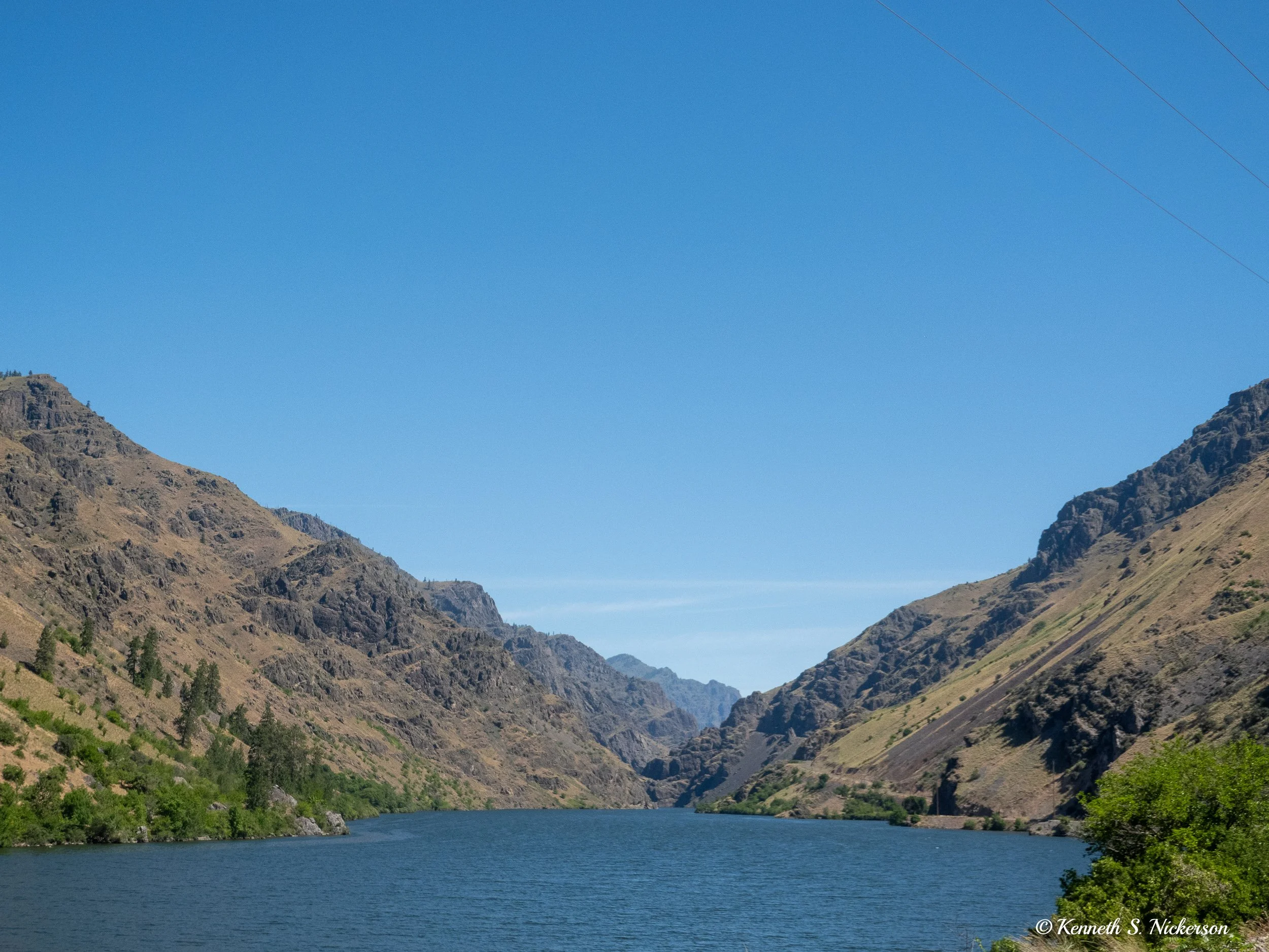
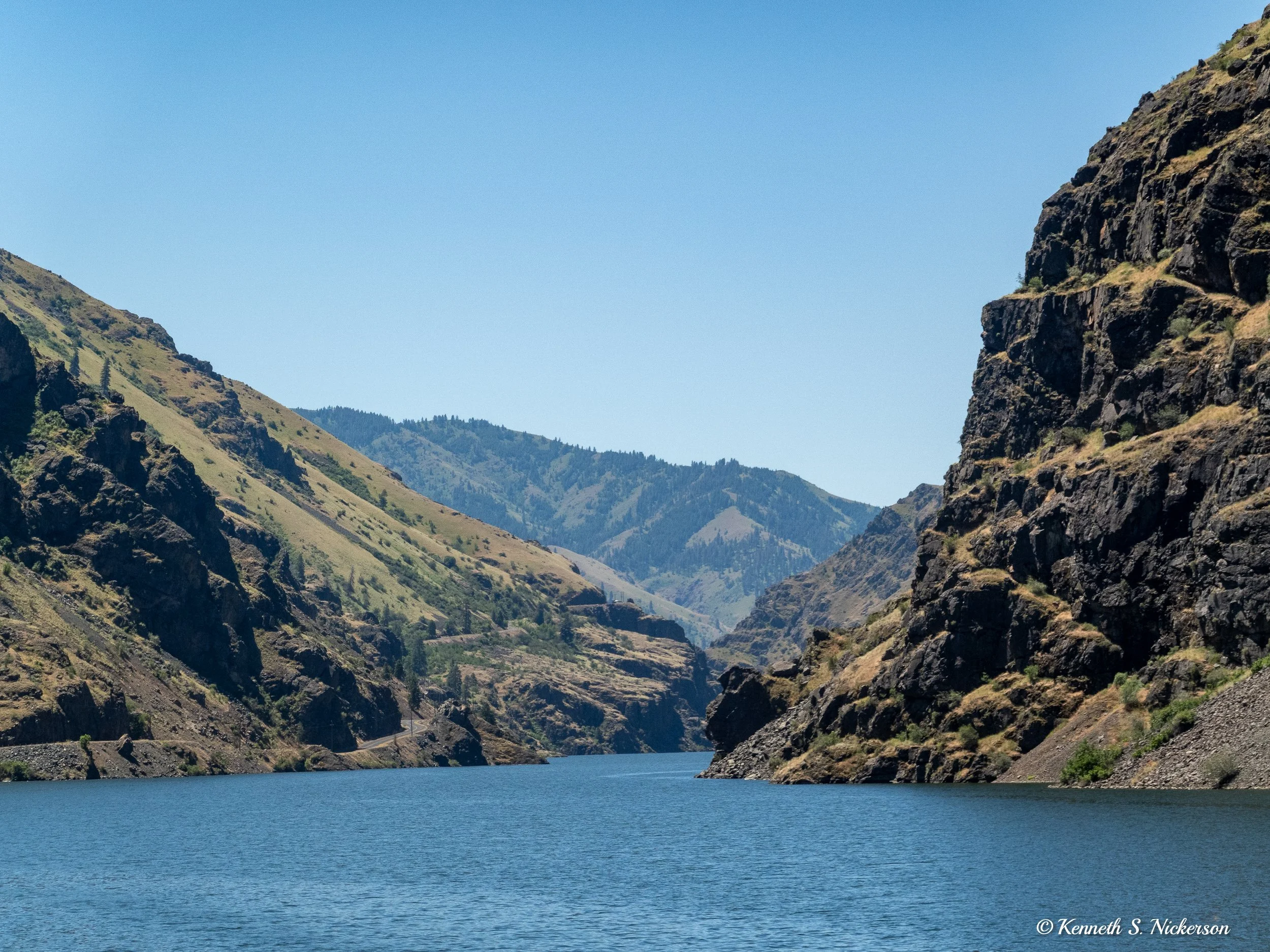
Today we biked downhill to the Snake River from Halfway, crossed to the Idaho side, then downstream to Hells Canyon Dam before returning back upstream. This is a view of the Snake River from the Idaho side.
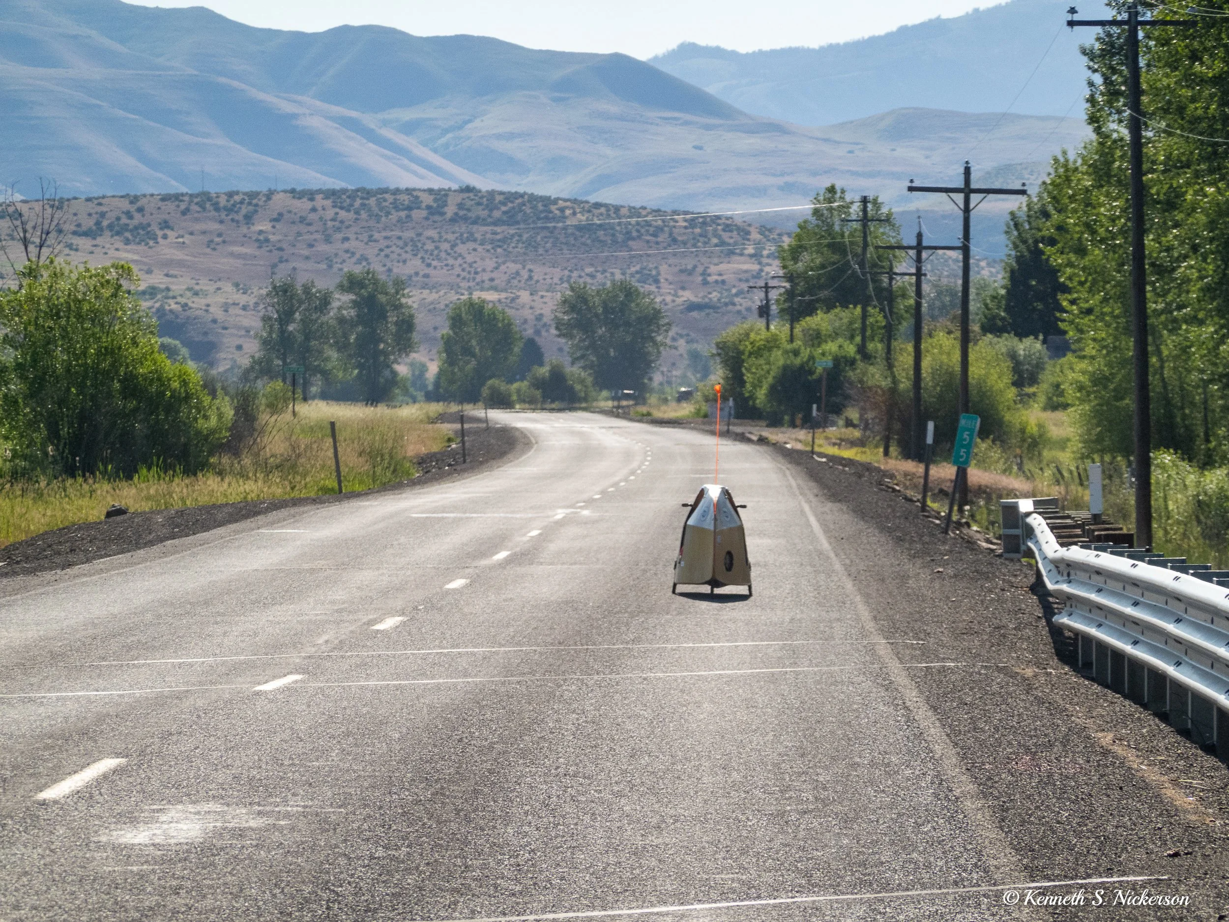
We started the day cycling about 18 miles, mostly downhill, to the Snake River. Shortly after leaving Halfway, we were easily passed by this enclosed recumbent bicycle. With its low aerodynamic drag and extra weight, it was much faster than us on the downhill and quickly disappeared into the distance. This is the second such bicycle we have seen on this trip. A few days ago, we passed the other one on an uphill where its extras weight slowed it down.
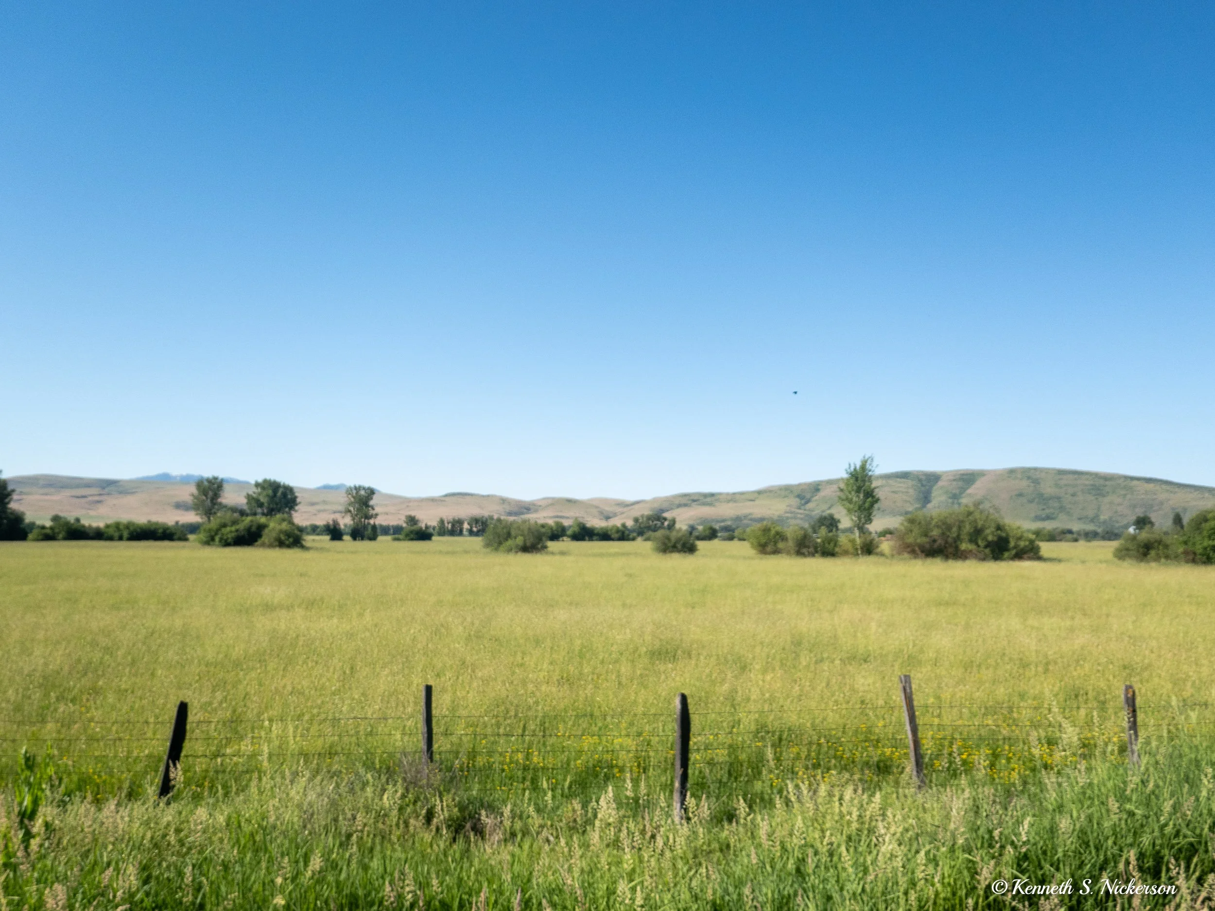
The first 10 miles of the ride down to the river we had biked in the opposite direction yesterday as we rode into Halfway. The next 8 miles was new although the scenery was very similar. I believe this photo was taken about 6 to 8 miles outside of Halfway.
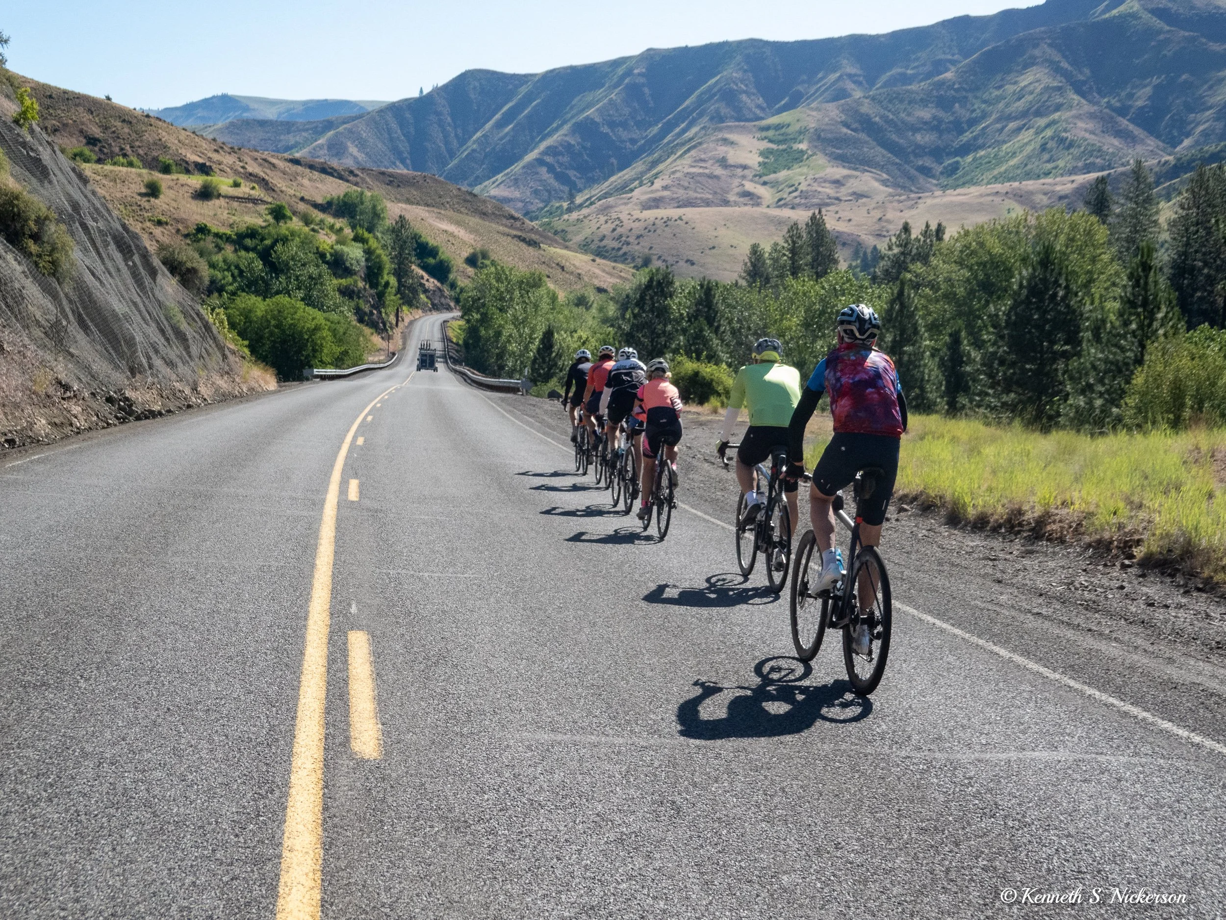
Most of us ended up biking down to the river in a paceline. The descent was gentle, so the lead rider needed to pedal to keep our speed up, but often the riders behind could just coast, taking advantage of the draft.
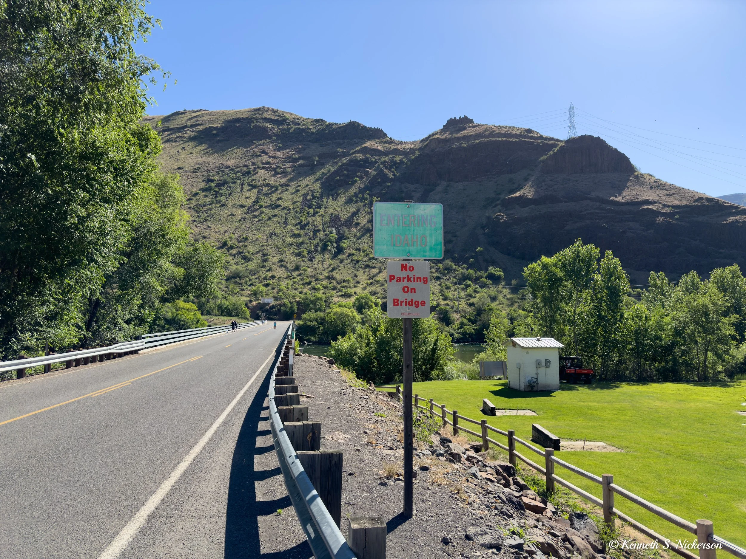
We arrived at the Snake River just below the Oxbow Dam, one of 3 dams in the Hells Canyon Hydroelectric Project. The Brownlee Dam is further up river which we will ride to tomorrow. Today, we biked to the Hells Canyon Dam about 23 miles down river. First we crossed over the river into Idaho.
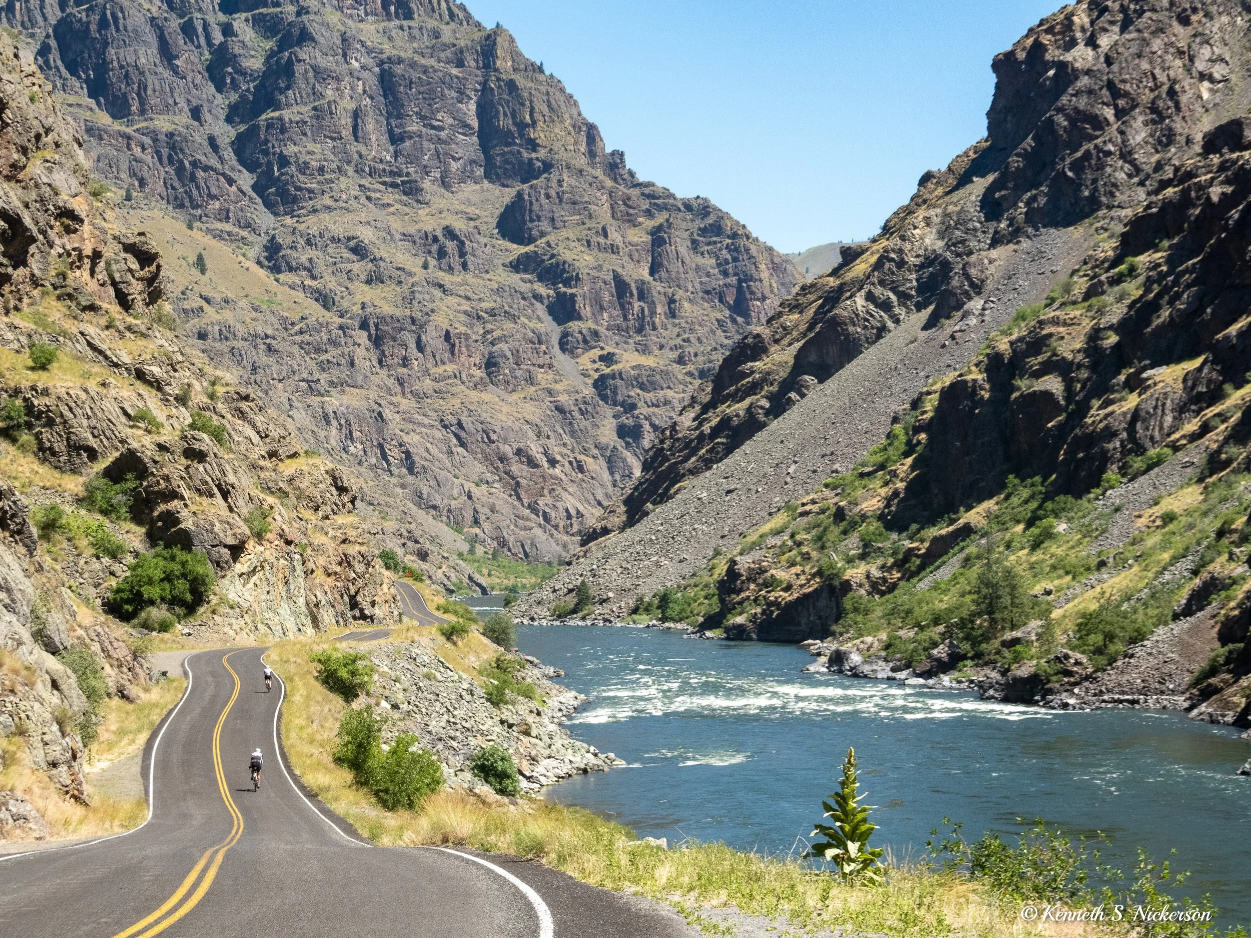
The views as we biked along the river were wonderful. Because of the dams, the river in this area is actually a series of connected reservoirs. While this means that there is little elevation between the bottom of one dam and the top of the next, the road to get there is not flat. The road meanders up and down the side of the canyon walls depending on what was easiest to construct.
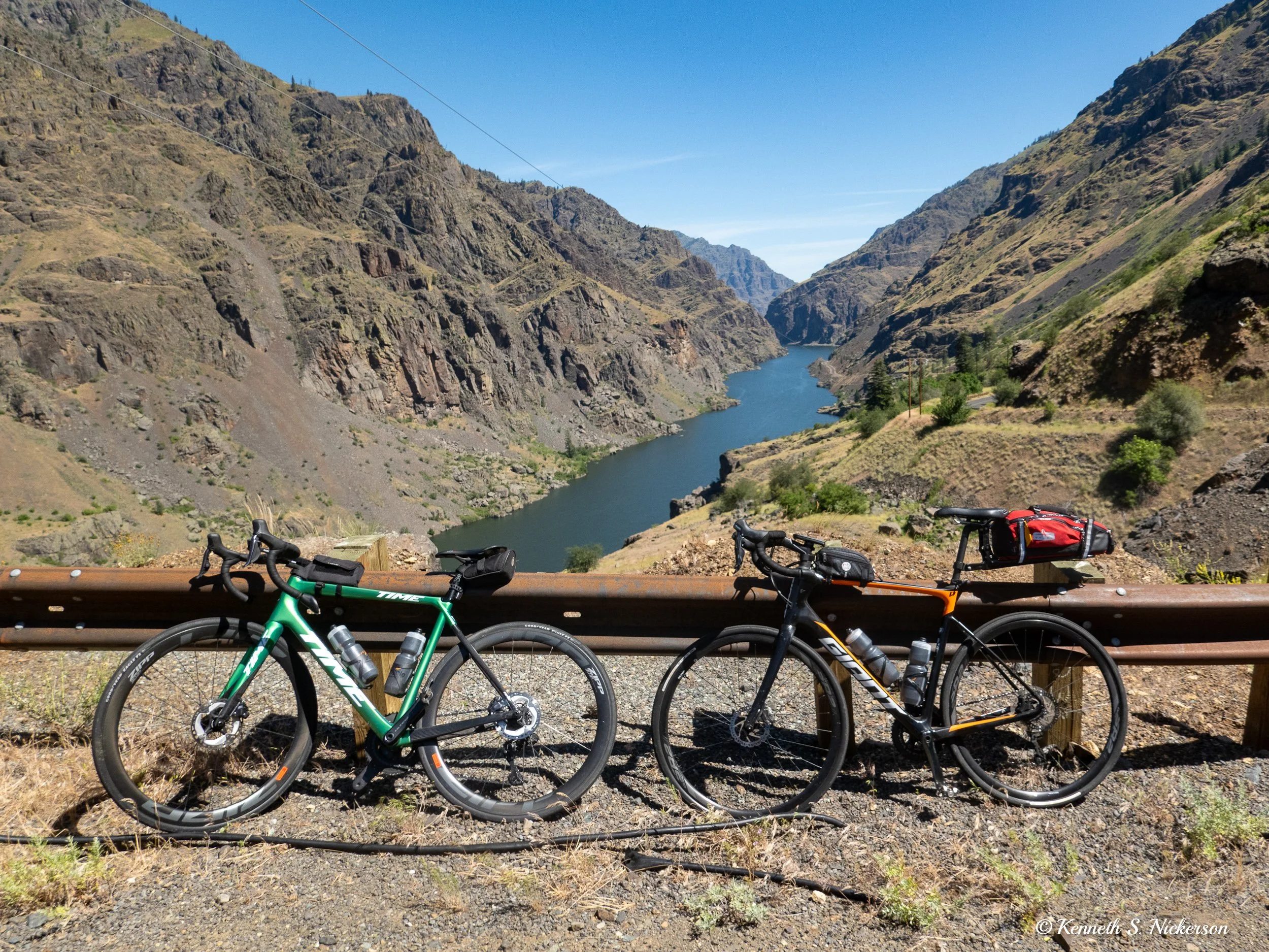
We had a rest stop at this overlook following a 600’ climb. I am using the bike on the right which was provided by Bicycling Adventures which is running our trip. The big red bag on the back holds my good camera and long travel lens which I pull out occasionally if I see a bird that might be good to photograph.
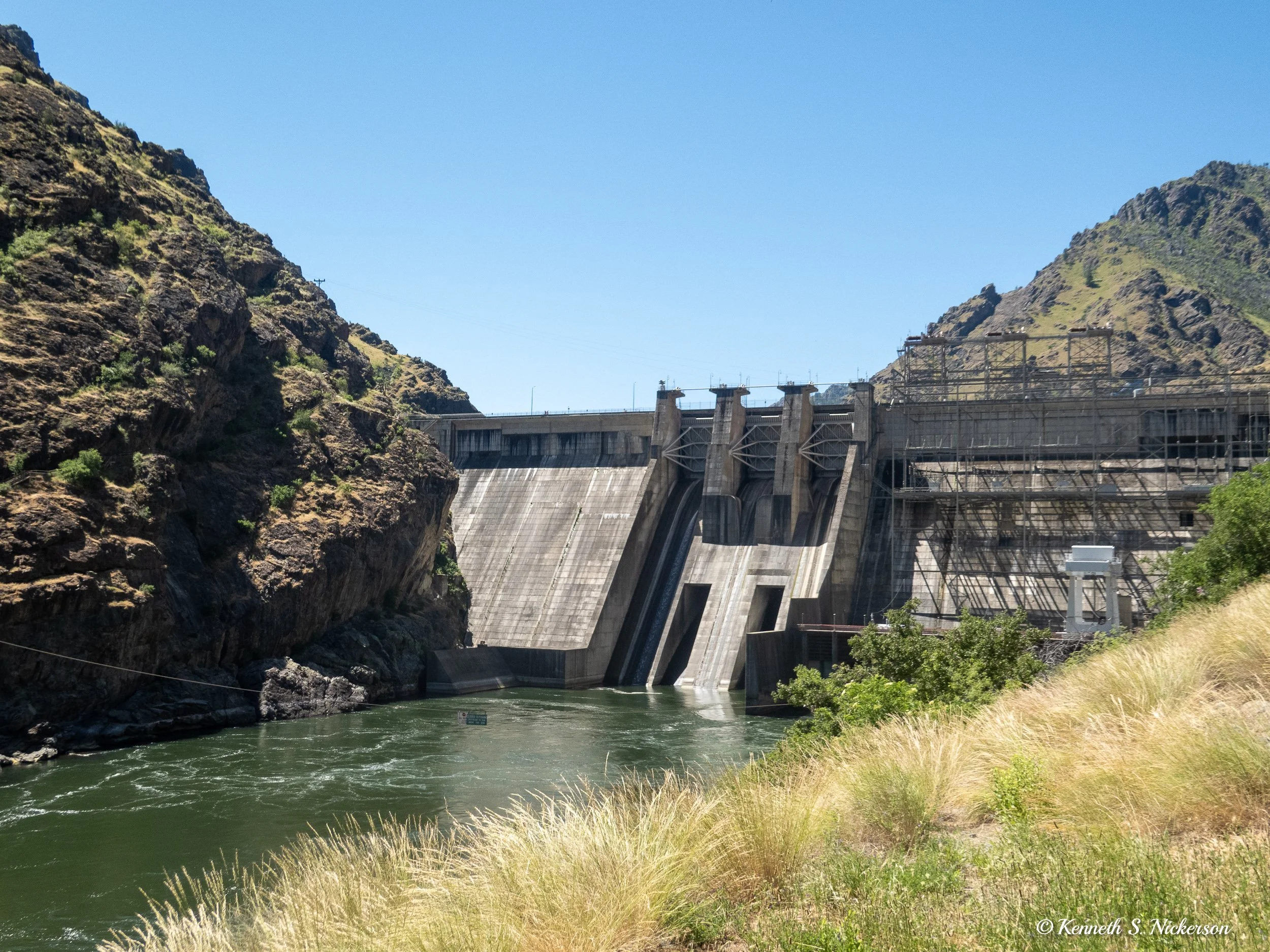
From this rest stop, it was about another 7 miles to get to the Hells Canyon Dam pictured above. I had crossed over the dam, back to the Oregon side, to get here. Yesterday, we ate lunch at the Hells Canyon Overlook which is about 5000’ above this point. The mountains on the Idaho side rise about 8000’ above the dam. When measured from the Idaho side, this makes Hells Canyon the deepest canyon in the US, slightly deeper than Kings Canyon in California and almost 2000’ deeper than the Grand Canyon.
The road continued on for about another mile until we got to a visitors center. Since the Hells Canyon Dam behind me is the last of this series of dams, the river here looks more like a river rather than a lake.
After taking a bit of time at the visitors center, we turned around and headed back up to the dam. Here is a photo from the top of the dam looking back upriver.
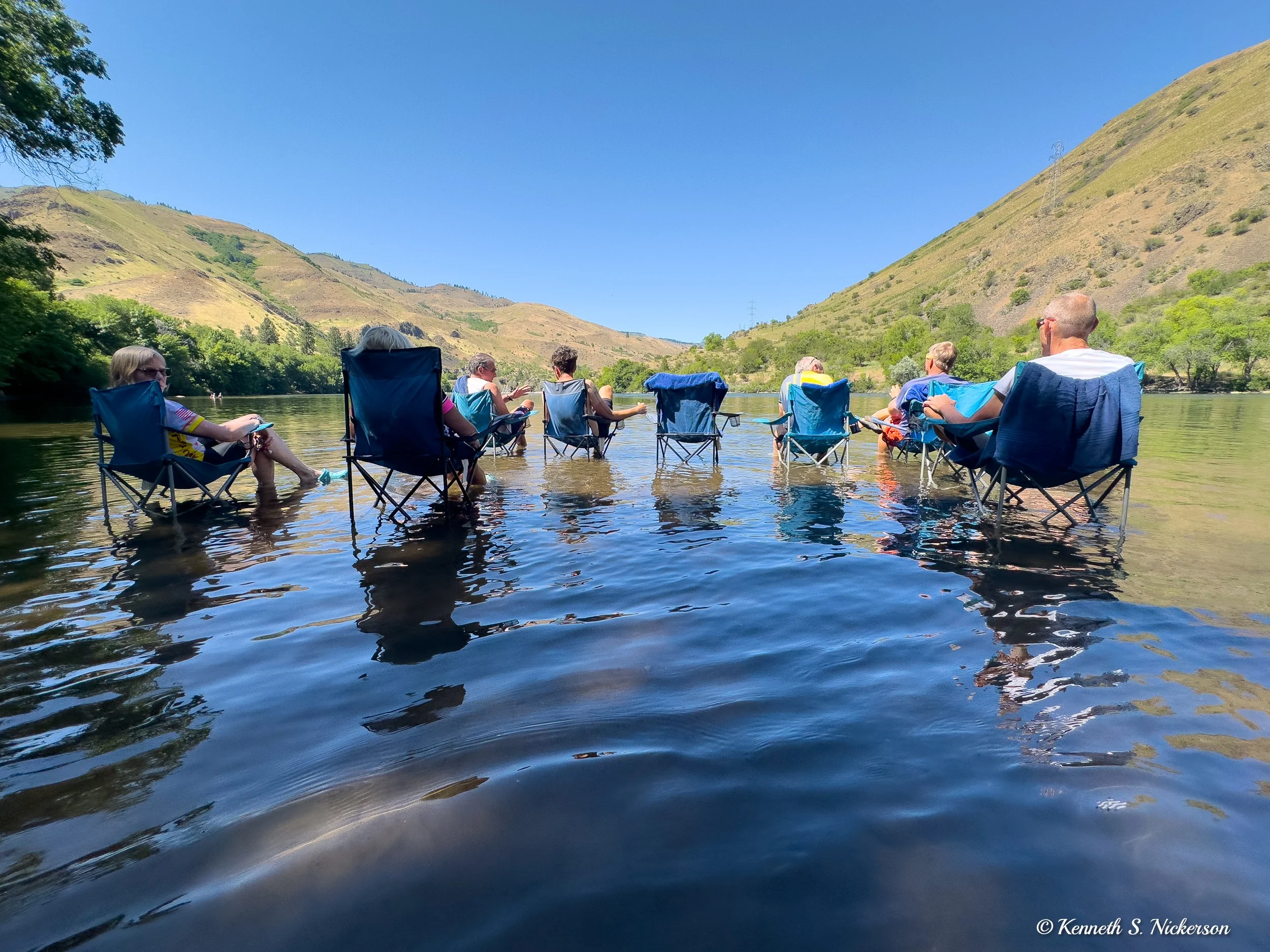
We then continued to retrace our route back to the van at the rest stop at the top of the 600’ climb where we had lunch. As the day progressed, the temperatures got hotter eventually reaching the low 80s. We ended our ride, not back at Halfway, but just after crossing the bridge back to the Oregon side just below the Oxbow Dam. The reason for stopping here was to allow us to wade or swim in the Snake River to cool off. The river water was rather brisk, but felt good to me as I took a short swim before sunning myself in one of the chairs. After 30 or so minutes baking in the sun, I went in for a second swim.
Tomorrow is our last day. We will be cycling up the Snake River on the Idaho side to the Brownlee Dam before heading inland to Cambridge. From Cambridge, we will be shuttled for about 90 minutes to get to Boise annd end our trip.

