VA Gravel Biking - Day 4
Today we climbed to the top of Reddish Knob. Above is a view from the summit. This spectacular view was similar in all directions. However, getting here was a lot of work. We climbed about 3400’ over 22.9 miles to get to the top.
To start our ride, we drove from the hotel to a park in Stokesville VA. The temperature was in the low 40s to start, chilly but not terrible. The clouds were patchy and the forecast was for clearing.
Izak led us out to start our ride.
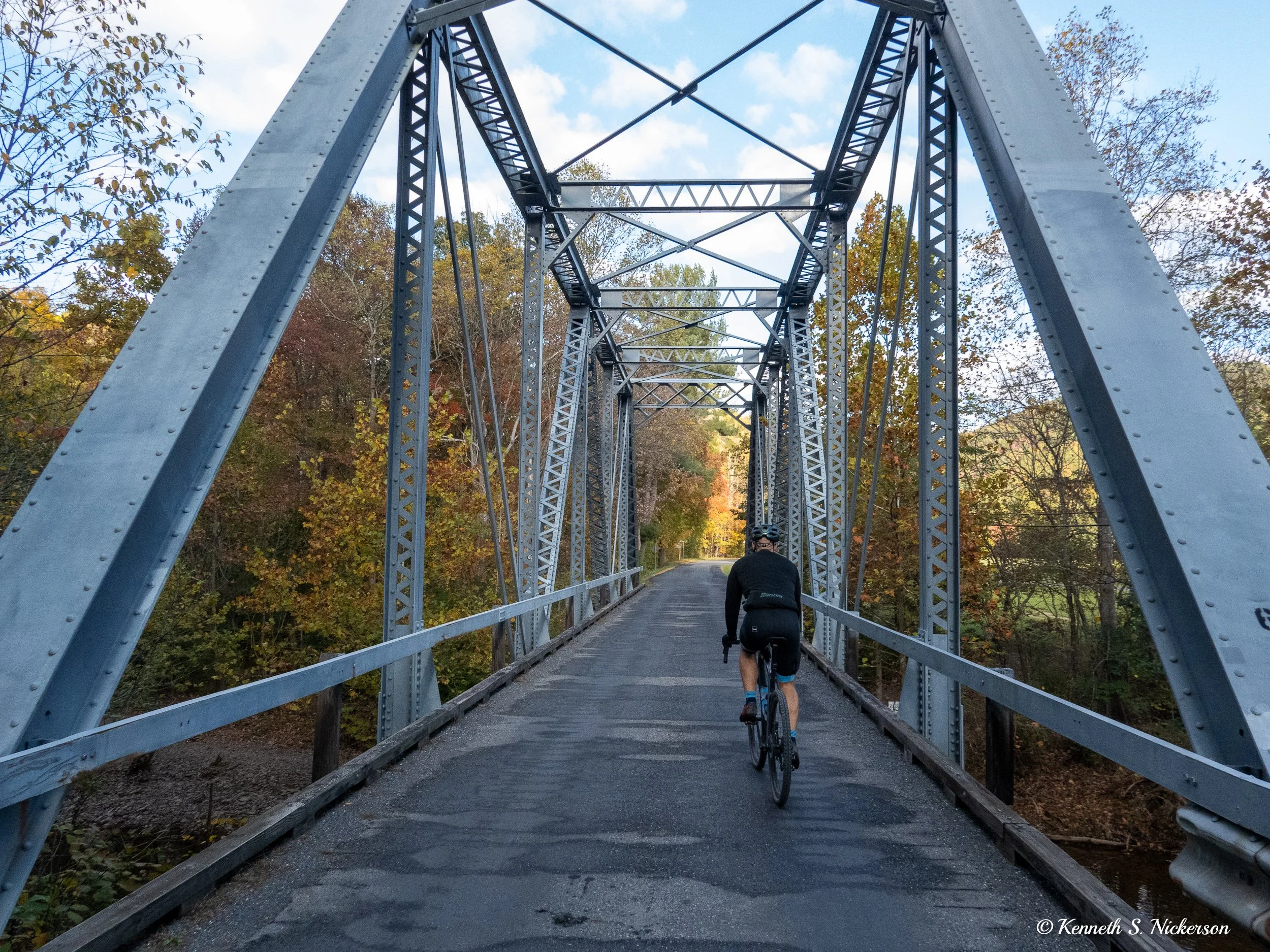
Here are Doug, Ruth and Jesse following me shortly before we started climbing.
Once the climbing started, we each tried to find a climbing rhythm that we thought we could maintain for the next couple of hours. Relatively quickly, I was cycling by myself with some riders behind me and some in front of me.
Our route within George Washington National Forest took us right along the Virginia / West Virginia boarder. At least a couple of times we crossed over into West Virginia; however, there were no signs on this service road to know exactly when that happened. Nonetheless, I can now add West Virginia to my list of states that I have cycled in. Since my cross country trip in 2019, I have now cycled in 30 states.
Remarkably, the weather followed the forecast, and the skies cleared.
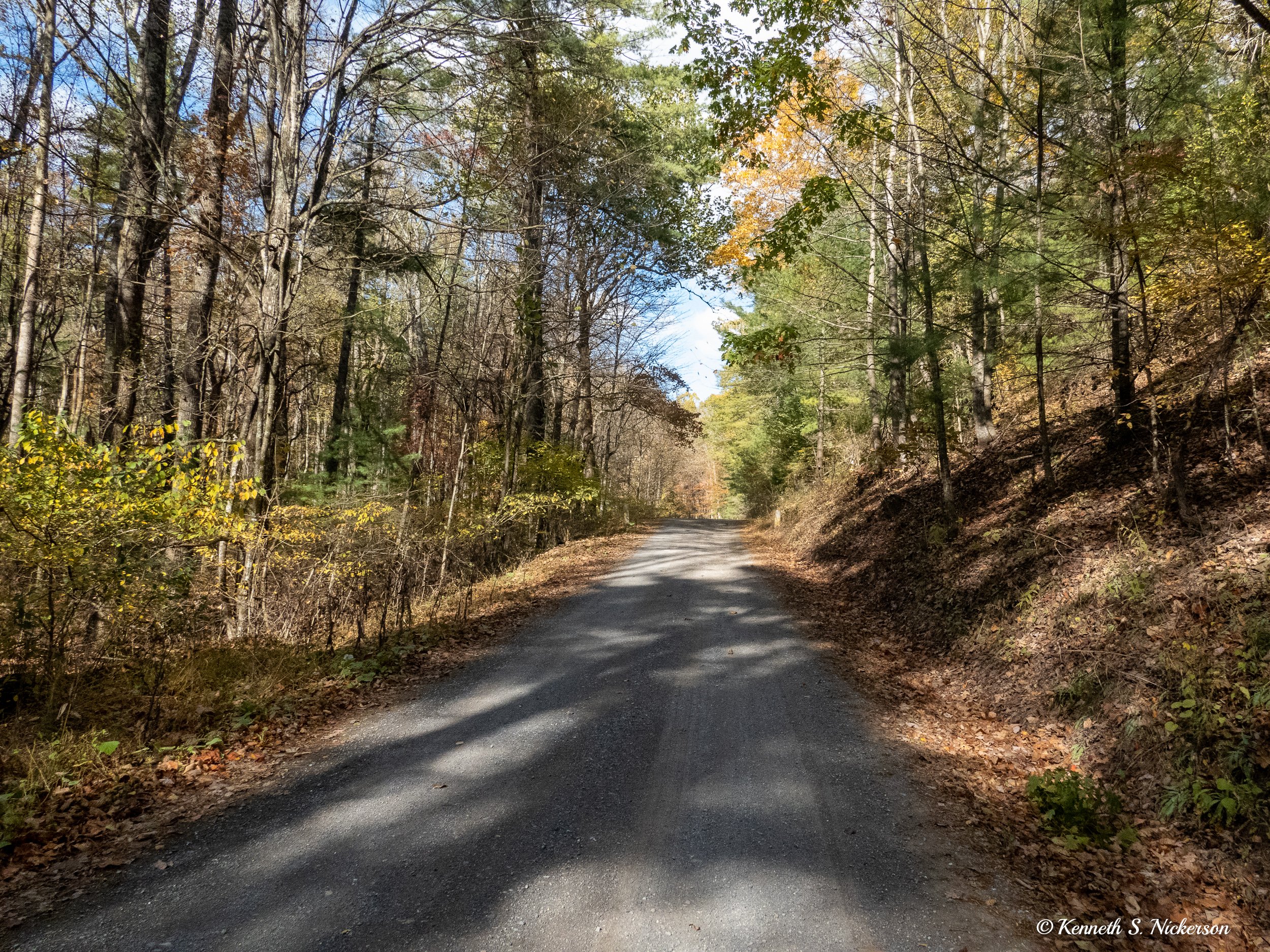
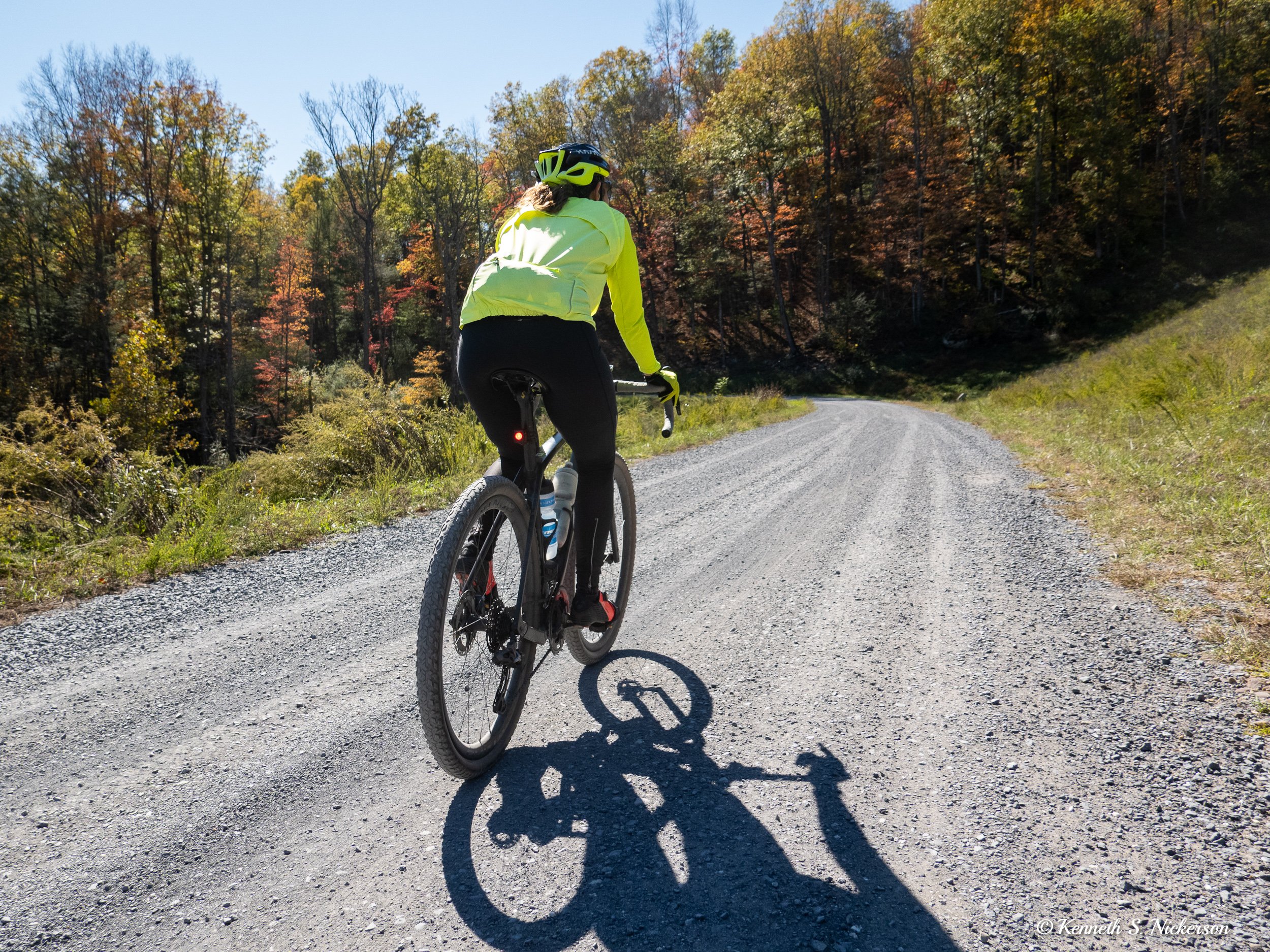
At times the riding was very challenging. There were sections which had grades over 10% while also having loose chunky gravel. I do not have any photos of the worst sections since I could not take my hands off the handle bars to get my camera, and stopping on those spots would make restarting rather challenging. In this photo, one can see some loose, slightly chunky gravel on a more moderate grade.
After about 2 hours of cycling, I could tell I was getting somewhat close to the top as occasional views would show neighboring mountains below me.
Finally, at the 2:35 mark of my ride, I reached the top and was treated with a spectacular view in all directions.
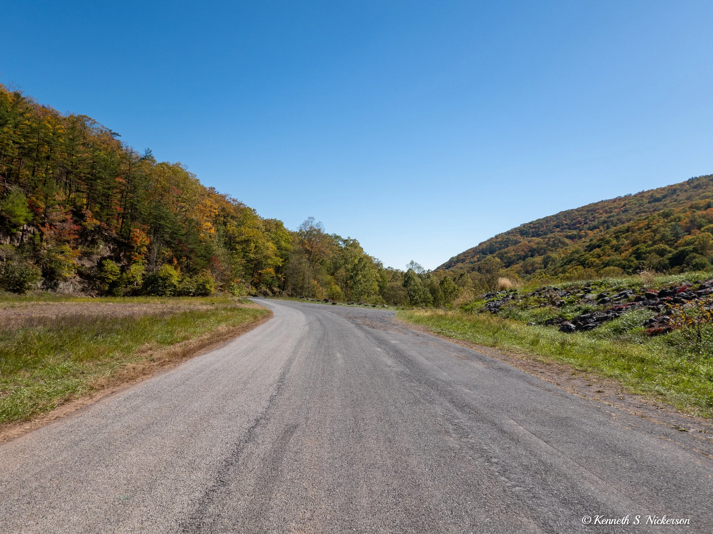
This is the only photograph that I have of the descent. We biked down the mountain on a paved road rather than the gravel. Much of the descent I did at over 30 mph which is not ideal for taking photos especially with frequent bends in the road. This particular photo I was able to take on a reasonably flat section with good visibility.
The last 7 miles were on gravel and generally downhill. Ruth and I rode together at a nice casual pace, giving our legs a rest after the challenging climb. Tomorrow is a short ride starting just after sunrise at 7:30am which will get us back to the hotel in time to shower before checkout at 11. Starting that early means it will be cold, likely in the 30s.


